Spitha Lighthouse
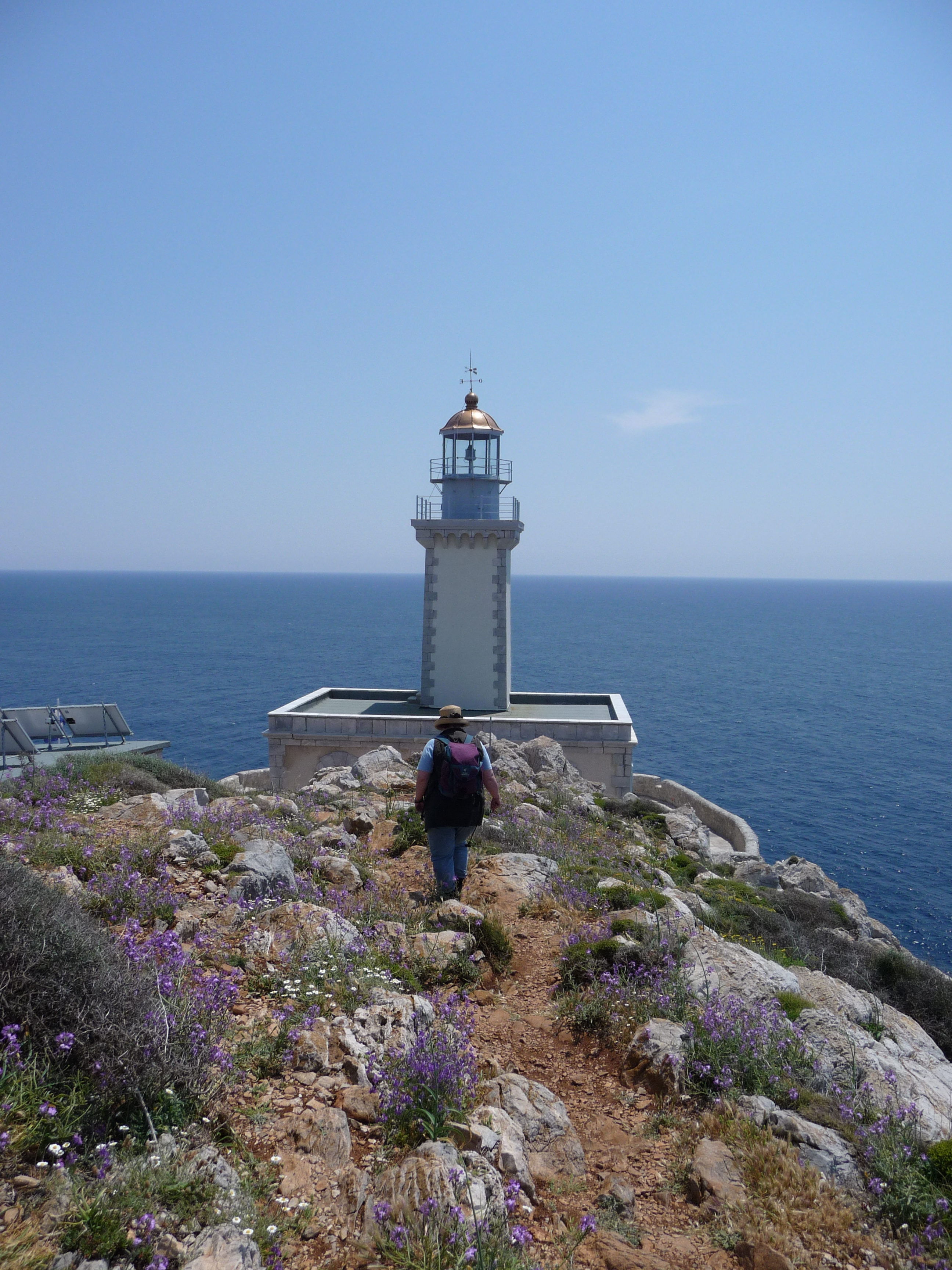 📷 Timmerma (German Wikipedia) · Public Domain
The lighthouse at Cape Tainaron, the southernmost point of mainland Greece and the Balkan peninsula, stands between the Laconian and Messenian gulfs. Built by French engineers, it has operated since 1887. In antiquity the cape was known as Matapas, and according to Pausanias and Plutarch it was home to a necromanteion (oracle of the dead) dedicated to Poseidon. The surrounding waters were the site of the Battle of Cape Matapan in March 1941.
📷 Street-level imagery
© Mapillary, CC-BY-SA
FAQ
Where is Spitha Lighthouse?
Spitha Lighthouse is located in Δυτική Μάνη, Π.Ε. Λακωνίας, Greece. Coordinates: 36.72420, 22.04310.
What kind of place is Spitha Lighthouse?
The lighthouse at Cape Tainaron, the southernmost point of mainland Greece and the Balkan peninsula, stands between the Laconian and Messenian gulfs. Built by French engineers, it has operated since 1887. In antiquity the cape was known as
How do I get to Spitha Lighthouse?
You can navigate to Spitha Lighthouse via Google Maps or Apple Maps using the coordinates 36.72420, 22.04310.
Nearby
- ⛪ Agios Charalambos 10.6 km
- ⛪ Agia Sophia 10.6 km
- 👁️ Koronis (Thea Messiniakou) Castle 10.6 km
- 🏰 Castle of Koroni 10.6 km
- ⛪ Panagia Eleistria 10.6 km
- 👁️ Viewpoint — Koroni 10.7 km